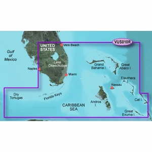

C-MAP MAX NA-M026 – Great Lakes & The Maritimes – SD™ Card
$279.00 $251.10
| Weight | 0.1 lbs |
|---|
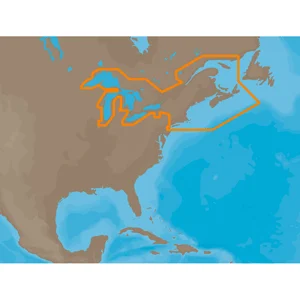
NA-M026 => Great Lakes, Northeast Coast and Approaches
Coverage of the Great Lakes, St. Lawrence River and Northeast United States. Coverage of the Great Lakes also includes Fox River and Lake Winnebago, Lake St. Clair, Rideau Canal, Ottawa River and the Trent-Severn Waterway. Includes all coastal charts for New Brunswick and Nova Scotia in Canada and Maine, New Hampshire, Massachusetts, Connecticut and New York in the U.S. Also included is coverage of the Hudson River and Lake Champlain as well as the Erie Barge Canal.This product may not be returned to the original point of purchase. Please contact the manufacturer directly with any issues or concerns.


⚓ Smooth Sailing Shipping
Enjoy FREE standard shipping on most orders over $250 within the continental U.S. (excl. heavy/oversized/hazardous items).
We ship via UPS, FedEx, and USPS . Orders are processed in 1–2 business days with typical delivery in 1–5 business days .
🧭 Track The Voyage
You’ll receive tracking info by email once your order ships. If your package is marked “delivered” but not received, please wait 48 hours then reach out to our team.
🛟 Hassle-Free Returns & Exchanges
Returns accepted within 30 days of delivery. Items must be unused and in original packaging.
- Mistaken or damaged cargo? We’ll handle return shipping.
- Changed your course? Return shipping is on you.
- Report defects or damage within 7 days for a free exchange.
💰 Anchor Your Refund
Refunds go back to your original payment method within 5–7 business days after inspection.
📨 Contact the Crew
Questions about your order? Drop anchor at sales@marineelec.com .

