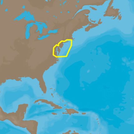
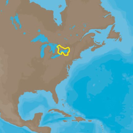
C-MAP 4D NA-D957 San Juan Islands to Nigei Island
Login to see prices $179.10
C-MAP 4D NA-D957 San Juan Islands to Nigei Island
| Weight | 0.1 lbs |
|---|
Description
C-MAP 4D NA-D957 San Juan Islands to Nigei Island
The next evolution in navigation solutions. C-MAP 4D adapts to your boating
needs because it’s the only digital chart that offers advanced features and
lets you add data and services as they become available.
Full 4D Content
When you choose Full 4D content you will experience the latest in navigation
data and technology such as:
- 3D Chart View – The world has three dimensions.
When you add the 4th dimension of time – meaning consistent, periodic
updates – you combine the most detailed 3D height and depth worldwide
database with a continuous update process to give you a personalized
navigation experience with up-to-date data for safe navigation. - High-Resolution Satellite Imagery – See the real world on your
screen.
C-MAP 4D includes a navigational perspective with high-resolution coastal
imagery overlaid on the most accurate and up-to-date vector data, plus
thousands of extraordinary photos for the most popular marinas and areas of
interest. - Digital Raster Charts – Innovate tradition.
With raster charts, you have an additional reference source for navigational
awareness. Get “at-a-glance” information using the nautical paper charts
overlaid on the multi-dimensional shaded relief to have a new visual
experience. - Easy Routing – Automatically create a route.
Enter start and end points along with specific boat parameters and
automatically receive waypoints of the shortest route; highlights potential
hazards and displays varying levels of alerts for each segment of the route,
allows you to manually adjust the route. - Guardian Alarm – An extra layer of safety.
When activated, Guardian Alarm performs an automatic forward-scanning check
for obstacles. Use the feature as an added backup to alert you should you
head toward a potentially harmful object. - Detailed NavAids
- Route Check
- Detailed Marina Charts
- C-Marina Ports Database
- Multi-Language Capability
- Dynamic Tides & Currents
- Photos & Diagrams
- Depths & Land Elevations
- Perspective View
4D cartography is compatible with the Furuno 1670F / 1870F, and Standard CPN 7000i, and CPN1010i units.This product may not be returned to the original point of purchase. Please contact the manufacturer directly with any issues or concerns.
Shipping & Delivery


Related products